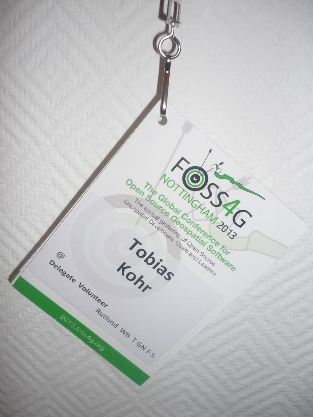
This Academic bursary event review is by Tobias Kohr who is a Research Associate at the Institute for Spatial Information and Surveying Technology (i3mainz) at the University of Applied Sciences Mainz.
So FOSS4G 2013 Nottingham is over and I want to reflect on the event. My FOSS4G started with workshops on Wednesday, which gave me the chance to meet some of the core developers of my favorite FOSS4G project (GeoNode) and taught me how to develop a QGIS plug-in. The next day the main conference started. My write up is going to be a bit different from the ones that have already been posted. I want to highlight some of the talks beyond the main keynote which have already seen quite a lot of discussion.
Thursday
Oops, i am actually going to start discussing a keynote, but rules are there to be broken, right? MapStory is a project that approaches crowd sourcing from a storytelling standpoint. Story tellers who are in the center of this application are able to present their concerns in a spatiotemporal frame. This frame covers most data and enables to share information in a way that can be easily interpreted. MapStory is based on GeoNode.
While QGIS 2.0 doesn’t seem to present any completely new innovations, a broad range of its features have been improved considerably or extended. One example would be the printing functions (Atlas/Mapbook, Snapping, HTML labeling, scalebar flexibility, etc.). Besides a new raster engine for better performance, a Model-Builder-like widget was integrated for easier processing.
As “the World’s leading open-source data portal platform”, ckan increasingly supports spatial capabilities like a CSW interface (pycsw), map widgets for visualization and spatial searches (based on Solr). Future challenges for the developersinclude the plan to merge data.gov and geo.data.gov into one portal.
Friday
It is difficult to keep track with all the emerging cloud solutions in the Web GIS world. The creator of Mango gave a handy overview of ArcGIS online, CartoDB, geocommons, GIScloud, MapBox and his own invention. More information can be found in his free book.
The quite impressive cloud solution of CartoDB is based on technologies such as PostGIS, nodejs and ruby. Beyond the quick formatting and configuration of web map applications, it offers developers various APIs (CartoCSS, MapAPI, SQLAPI).
Cartaro tries to leverage common functionalities of the widely used and powerful CMS Drupal, like user administration, internationalization, versioning, layout, templates and editorial workflow and extend it with spatial capabilities to create a framework that can build “websites with a map” and “business apps with some GIS”.
While current Web GIS application can be very powerful, often they are not very intuitive. A rework of map.geo.admin.ch tries to overcome this shortcoming by simplifying the GUI and supporting the user with layer previews. The application is based on OpenLayers 3.
Geo-processing in spatial databases is faster than in programming code, so why not use it in WPS? This idea is pursued by GeoSolutions who have enabled their GeoServer WPS to pass SQL queries directly to the database for execution.
Saturday
The vision of OL3 is to converge 2D (OpenLayers 2/Leaflet) and 3D (Cesium/OpenWebGlobe) web capabilities within one library. OL3 sees maps as graphics and puts a focus on client-side rendering. It follows the design principles of separation of concerns (map layers vs. data sources, interactions vs. controls) and high performance. Different to OL2, OL3 doesn’t include any GUI components itself, but is designed to work with other libraries, CSS and Bootstrap, which many responsive web applications tend to use nowadays. To get a feel, how to work with OL3 have a look at Tim Schaub’s presentation.
Just before the closing plenary, Christopher Helm turned out to give one of the most entertaining presentations of the conference, in my opinion. While he neglected the JavaScript loaded program of Saturday a little bit, he was asking for more and more and more of it, telling the audience about D3, topojson, node.js, walkshed.js, shapefile.js, shapely.js and Esri’s koop and terraformer. So why don’t we process geodata in JavaScript? In Helm’s opinion we should do and should also consider using technologies like Web RTC, Web sockets and Web workers.
Thank you so much to the LOC, the bursary sponsors and my institute for making my first FOSS4G visit possible!
FOSS4G 2013 academic bursaries were sponsored by EDINA. EDINA supports the use of spatial data in higher and further education in the UK. EDINA relies heavily on free and open software to deliver its service and is proud to support FOSS4G 2013.
























Another great #foss4g13 academic bursary review, this time from Tobias Kohr – http://t.co/FeGEjrBNCo
RT @go_geo: Another great #foss4g13 academic bursary review, this time from Tobias Kohr – http://t.co/FeGEjrBNCo