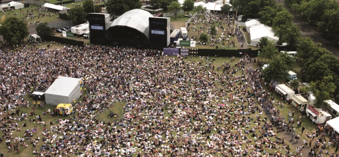
Rarely does an event occur within the UK without there being some concern about the influence of the weather on proceedings. As well as affecting whether an event goes ahead or if contingency plans need to be considered, adverse weather also influences the actions of the attendees, people may decide not to attend, or stay for a short time only.
This challenge would have the aim of trying to estimate some of the effects of weather on outdoor events in the UK. The first task would be to collate and map summary information for various events around the country. As well as the location, the GeoHack team could utilize social media sources to add information such as the estimates of the numbers of people attending and where they’re travelling from, the demographic profiles of the people attending and the duration of the event. The second task would be to link these events to weather forecasts, to try to estimate if it might have an influence on the event. The emphasis will be on using open data, available through APIs to create an output that has the potential to run live.
Although it should be possible to locate and profile indoor and outdoor events, the work challenge will focus on the latter. Events is quite a broad description but would be expected to be occasions with large numbers of people attending, and include things like music festivals, town fêtes and summer fairs, balloon fiestas, agricultural shows, etc.
Sponsoring Organization(s)
Name: Health and Safety Laboratory
URL : http://www.hsl.gov.uk/
Data Resources(s)
The aim will be to use open and live data sources wherever possible. As well as listings information, this might utilise event specific hashtags on twitter, dedicated facebook pages or other social media.
Example APIs:
Name: SongKick
URL: https://www.songkick.com/developer
Name: Twitter
URL: https://dev.twitter.com/docs/api
Name: Facebook
https://developers.facebook.com/docs/reference/apis/
Please return completed forms and forward any related questions to: challenges@geohack.org


